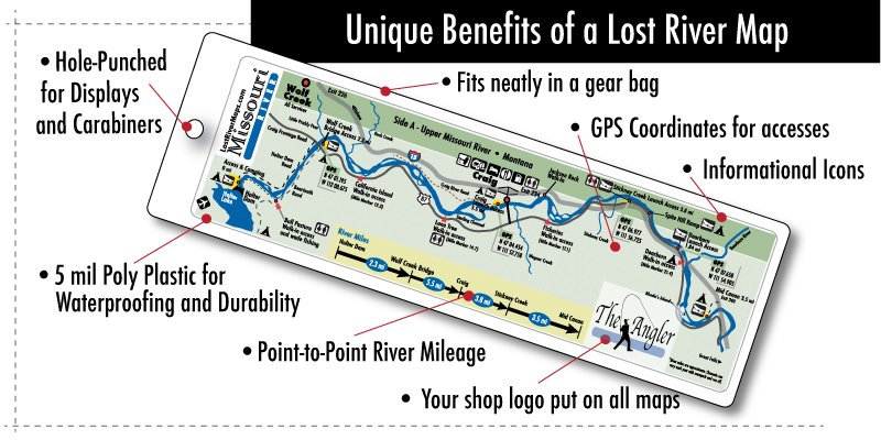
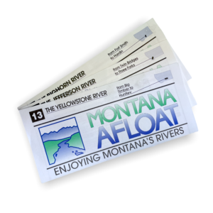
These maps will help you find the best accesses on your river adventure with high-quality, durable, easy-to-follow directions.
Their goal is to give you the most convenient river maps. Each map is laminated with 5 mil plastics that keeps it durable, waterproof, long lasting and fits in a gear bag.
They provide GPS coordinates for major river access points and convenience areas like boat access, food, bathrooms, camping and picnic areas. Bold icons on each map let you know what services are available at-a-glance.
The Madison: Side A- Hebgen Lake to Palisades Side B- Ruby Creek to Ennis
The Bighorn: Side A- After Bay to Bighorn Club Side B- Bighorn Club to Big Horn Access
The Big Hole: Side A- Pintlar Creek to Sportsman’s Park Side B- Sportsman’s Park to Dewey
